
Low Kop
Height 1877 feet/572metres
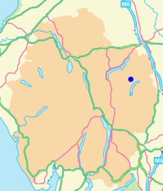
Grid Reference NY 474 165
Area
Birkett - Eastern Fells, Loadpot Hill Group - Top No. 247
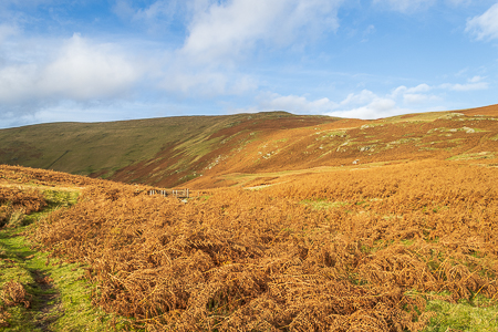
Low Kop from the footbridge over Measand Beck.
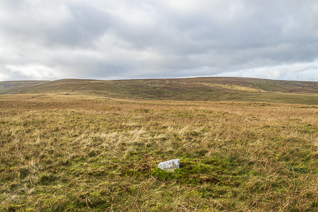
Low Kop's summit, which now has a stone marking its location.
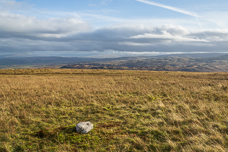
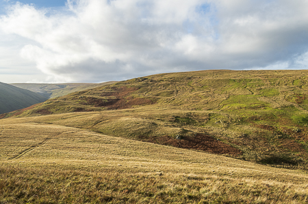
Looking across to Naddle Forest and the distant Pennines from Low Kop.
Low Kop from the ascent to Bampton Fell.
Burnbanks - Measand Beck - Low Kop - Bampton Fell - Burn Banks - Burnbanks
Moorahill Farm - Hause End - Low Kop (136) - Red Crag (137) - Wether Hill (138) - Loadpot Hill (139) - Hart Hill - Moorahill Farm
All pictures copyright © Peak Walker 2022
©Crown copyright. All rights reserved. Licence number 100045184.